From September 4 to 5, the eleventh summit of the leaders of the Group of Twenty (G20) will be held in Hangzhou, China. During the summit, road traffic in Hangzhou will undertake major tasks. In response to the G20 summit traffic situation, Tencent Map released G20 travel maps, through WeChat City Services, Tencent Internet + Cooperation Division docking with government authority data information, combined with dynamic monitoring of Tencent map traffic data, to visualize the location of big data display.
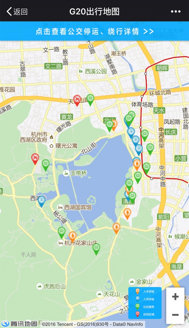
(G20 travel map)
This trip map covers the most complete public transport operations in Hangzhou during the G20 summit. Five temporary closed areas, 11 personnel security inspection sites, 7 personal vehicle security inspection sites, and 13 resident service centers are marked on the map to facilitate the public. understanding.
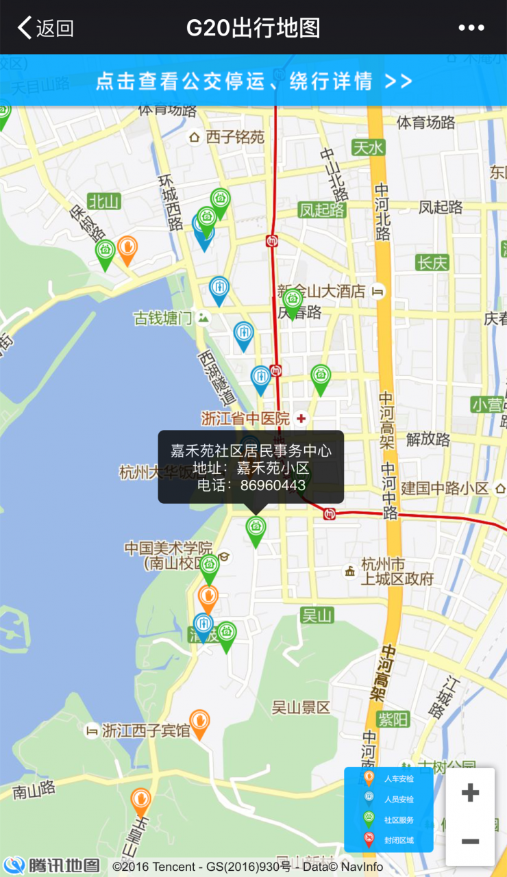
During the G20 summit, in order to mitigate the impact of closed measures on the lives of people in closed administrative areas, a resident service center was set up within the enclosed management area. Residents and units in the closed management area were in urgent need of emergency and could seek help from the service center. These site data are displayed on the map and the user can view nearby service center information at any time. Â 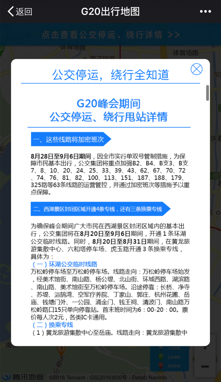
At present, Hangzhou West Lake area security inspection has been started, to enter the scenic area or may pass by the people around the scenic spot, if you do not know the specific details, you can refer to the scenic security site.
The current G20 travel map has already been put on the WeChat city service and Tencent map. During the G20 summit, the road information in Hangzhou was wiped out. Some netizens said: “I don’t understand where the temporary closed area is, and too many words are dizzy. The way to circle the map is relatively easy to understand. With the G20 travel map, bus outages, detour routes are known ahead of time, security check closed area Clearly on the chest, congested roads have a good idea." Â
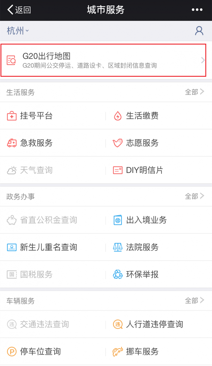
(WeChat entrance)
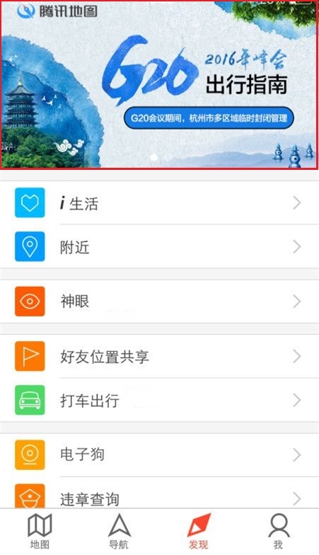
(Tencent map entrance)
The release of the G20 travel map also marks the opening of the Tencent map escort mode. For closed roads, Tencent Maps APP is now open, navigation will automatically avoid the above sections, prompting users to bypass. For the users who choose to travel by public transport, they provide a transfer route plan and public notice to inform the bus line to stop and divert the information during the bus search. In addition, the user can also first understand the local weather conditions in Hangzhou, as well as the tail number limit line, to avoid violations.
The opening of the G20 summit will soon be a time when multiple parties will work together to inject “intelligence†into Hangzhou’s roads and citizens’ travel. Checking the G20 travel map will facilitate the acquisition of comprehensive and accurate travel information services.